29 01, 2021

Data & Analytics Services in Response to Major Events: New Case Studies

2021-01-30T11:17:42+11:00January 29th, 2021|APIs, Asia, Australia, Bushfire, Earth Observation, Emergency, Exposure, Geospatial Big Data Analytics, Image Analysis, Location Intelligence, Major Events, News Media, Risk, Tropical Cyclone, USA|

We offer data & analytics services to aid rapid response to major events, such as disasters and emergencies. In this blog, we showcase our efforts in response to a number of major events in Australia during the summer week of 20-26 January 2021. A range of information products related to a tropical low, [...]

11 08, 2020

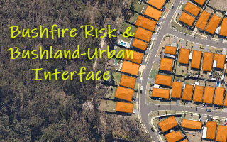
Monitoring Land Cover Changes at the Bushland-Urban Interface: An Image Analysis Approach

2020-12-11T12:13:19+11:00August 11th, 2020|AI, Australia, Bushfire, Climate Change, Cloud Computing, Earth Observation, Emergency, Exposure, Geocoding, Geospatial Big Data Analytics, Image Analysis, Land parcel, Location Intelligence, Property Information, Risk, Sentinel-2|

It has been well observed, modelled and reported that bushfire risk is on the rise under a rapidly warming climate. Earth observation, remote sensing and image analysis are among the most important technologies to manage bushfires nowadays - from disaster prevention to preparedness, from hotspots detection to movement monitoring, from response to recovery, [...]

11 08, 2020

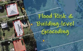
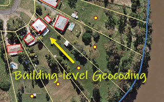
Building-level Geocoding for Regional Flood Risk Analysis: A Case Study in Ipswich, Queensland

2020-10-03T00:48:32+10:00August 11th, 2020|AI, Australia, Cloud Computing, Earth Observation, Exposure, Flood, Geocoding, Geospatial Big Data Analytics, Image Analysis, Land parcel, Location Intelligence, Property Information, Risk|

One of our recent blogs discussed the importance of building-level geocoding for flood risk analysis (link). If an exposure is wrongly or insufficiently geocoded, corresponding flood risk could be very different. In some extreme cases, the risk could be more than an order of magnitude different. Figure 1 shows a comparison of parcel-level [...]

29 07, 2020

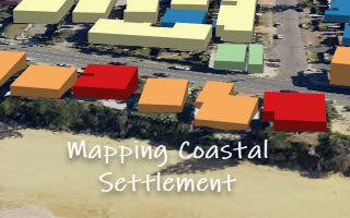
Mapping the Coastal Settlement in Wamberal, NSW: Two Approaches

2020-10-03T00:48:34+10:00July 29th, 2020|AI, Australia, Cloud Computing, Earth Observation, Elevation, Exposure, Flood, Geocoding, Geospatial Big Data Analytics, Image Analysis, Land parcel, Location Intelligence, Property Information, Risk|

Quite a few coastal properties in Wamberal (NSW) are at risk of constant coastal erosion. This is again heightened by the threat from two Australian East Coast Lows affecting the NSW coast in recent few weeks. Two independent approaches, together with high-resolution public data sources, can be used to map the coastal settlement. [...]

21 07, 2020

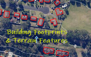
Creating Building Footprints and Terrain Features for Web and Desktop Mapping: With Examples from the NSW Coast

2021-04-30T10:22:52+10:00July 21st, 2020|AI, Australia, Cloud Computing, Earth Observation, Elevation, Exposure, Flood, Geocoding, Geospatial Big Data Analytics, Image Analysis, Land parcel, Location Intelligence, Property Information, Risk|

High-resolution digital imagery (satellite, aerial or drone-based) and high-resolution elevation data (typically derived from LiDAR point clouds) are increasingly used in local and regional environmental studies. But it is still challenging to extract high-resolution feature attributes (e.g. building footprints from imagery and terrain metrics from digital elevation models) for deeper geospatial analysis and [...]

1 07, 2020

Building-level Geocoding of G-NAF (Address Database) for Improved Flood & Bushfire Risk Analysis in Australia

2021-02-25T10:50:24+11:00July 1st, 2020|AI, Bushfire, Cloud Computing, Earth Observation, Exposure, Flood, Geocoding, Geospatial Big Data Analytics, Image Analysis, Land parcel, Location Intelligence, Property Information, Risk|

It is well known that exposure location is a major source of uncertainties in either site-level or aggregate risk analysis. Back in 2016, we released a product called Geocoding DoubleCheck (link) to address the location accuracy of parcel-level geocoding. Then we compared the difference between parcel-level and building-level geocoding (Figure 1), and stressed [...]

1 07, 2020

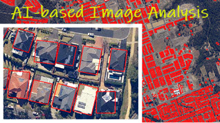
Extracting Features from High-resolution Imagery: An AI-based Processing Service

2021-02-25T12:40:09+11:00July 1st, 2020|AI, Cloud Computing, Earth Observation, Exposure, Geocoding, Geospatial Big Data Analytics, Image Analysis, Location Intelligence, Property Information, Risk|

Artificial Intelligence (AI) methods or techniques have been actively explored and used for a long time, but the last decade has seen a surge of very successful and profound applications thanks to the rapid advances in deep convolutional neural networks, the availability of large and high-quality data sources, easy access to high-performance computing [...]

21 04, 2020

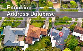
Four Property Location Information Products to Enrich G-NAF (Address Database) in Australia

2020-10-03T00:48:42+10:00April 21st, 2020|APIs, Apps, Asset Management, Australia, Elevation, Exposure, Geospatial Big Data Analytics, Insurance, Location Intelligence, Property Information, Real Estate, Risk|

21 April 2020 Geocoded National Address File (G-NAF) is Australia’s authoritative, geocoded address database. It contains more than 14 million physical address records (e.g. residential, commercial and industrial), each having spatially-explicit geocodes such as latitude/longitude coordinates. G-NAF, developed by PSMA Australia, has been available since 2004. A public version, Open G-NAF, has become [...]

11 04, 2020

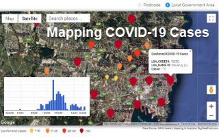
New Web App: Mapping Daily Confirmed COVID-19 Cases in NSW by Postcode and LGA

2020-11-27T23:17:39+11:00April 11th, 2020|Apps, Australia, Census, Cloud Computing, Emergency, Exposure, Geospatial Big Data Analytics, Location Intelligence, Major Events, Risk|

11 April 2020 Strongly motivated by the recent release of more detailed COVID-19 data by the New South Wales (NSW) Government, we have developed a new web app that maps the daily confirmed COVID-19 cases in Sydney and NSW by Postcode and Local Government Area (LGA). Please note that so far the [...]

11 03, 2020

Top 10 Blogs of the Past Two Years from BigData Earth

2020-10-03T00:48:53+10:00March 11th, 2020|APIs, Apps, Australia, Bushfire, Cloud Computing, Emergency, Exposure, Flood, Geospatial Big Data Analytics, Insurance, Location Intelligence, Property Information, Risk, Tropical Cyclone, USA|

11 March 2020 Exactly four years ago, we started blogging what we have been exploring and creating in geospatial big data analytics, cloud computing, property location metrics, hazard and risk modelling, etc. So far, more than 50 blogs have been produced. Here we select and share top 10 blogs from the past [...]

Go to Top