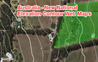
New Tile Maps on Terrain and Hydrology: Part 3 (Increasing Details)
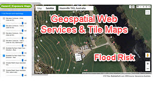
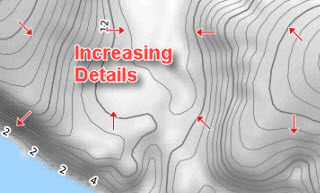
9 December 2019 LiDAR point clouds can represent 3D features very accurately, but due to their large data sizes, point clouds are commonly turned into easy-to-use DEMs at various spatial resolutions (e.g. 1m, 5m or 10m). Such DEMs are increasingly available via government web portals. The vertical accuracy of 1m-resolution Lidar-derived DEMs [...]