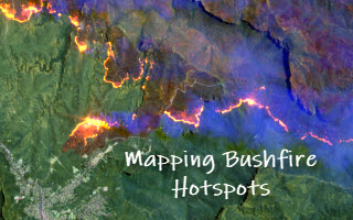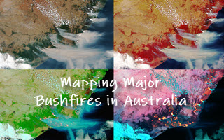
Mapping Major Bushfires in Australia using Near Real-time Himawari-8 Satellite Imagery
Acknowledgements: This project is made possible thanks to the availability of Himawari-8 satellite imagery from the Japan Meteorological Agency (JMA, link) and its open access provided by AWS (link). >> Access new bushfire mapping app website Mapping bushfires using Earth observation (EO) imagery has been a very active [...]