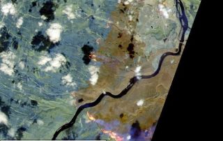
Observing the May 2016 Fort McMurray Wildfire: A Survey of Satellite Imagery Sources (including Sentinel-2)
The May 2016 Fort McMurray Wildfire in Alberta, Canada is catastrophic. The fire started on May 1, and as of May 24, is still raging. The fire has destroyed ~2,400 homes and buildings, and resulted in massive fire scars (burnt areas) over 500,000 hectares. It becomes the most expensive nature disaster in Canadian history, with an [...]

