Earth Observation and Location Intelligence for the News Media
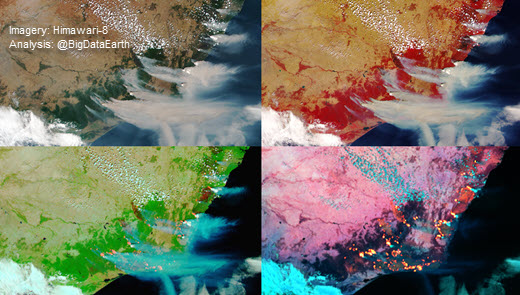
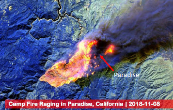
We analyse large-sized satellite imagery and other geospatial datasets to create accurate and scientifically-valid visuals (e.g. maps and animations) to enhance the reporting of major events (e.g. bushfires, flooding and tropical cyclones). We also extensively use geospatial analytics and develop cloud-based Location Profile Reports to provide place-based content and context supporting data journalism.

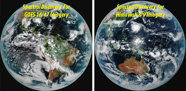
Using our Spectral Discovery software to analyse near real-time imagery from geostationary satellites and to depict major phenomena or features (spatial resolution up to 500 m; temporal resolution up to 10 minutes)


