24 11, 2020

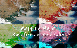
Mapping Major Bushfires in Australia using Near Real-time Himawari-8 Satellite Imagery

2022-08-08T08:15:39+10:00November 24th, 2020|AI, APIs, Apps, Asset Management, Australia, Bushfire, Climate Change, Cloud Computing, Earth Observation, Emergency, Geospatial Big Data Analytics, Image Analysis, Location Intelligence, Major Events, Risk|

Acknowledgements: This project is made possible thanks to the availability of Himawari-8 satellite imagery from the Japan Meteorological Agency (JMA, link) and its open access provided by AWS (link). Mapping bushfires using Earth observation (EO) imagery has been a very active research and application field. With a strong determination to [...]

24 11, 2020

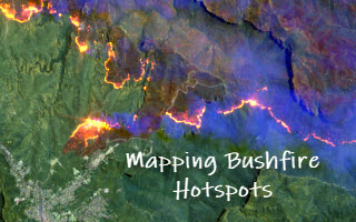
Detecting Bushfire Hotspots from Himawari-8 Imagery: With Four Examples from the 2019-20 Australian Bushfire Season

2021-01-11T22:18:53+11:00November 24th, 2020|AI, APIs, Apps, Asset Management, Australia, Bushfire, Climate Change, Cloud Computing, Earth Observation, Emergency, Geospatial Big Data Analytics, Image Analysis, Location Intelligence, Major Events, News Media, Risk, Sentinel-2|

The new generation of geostationary meteorological satellites, such as Himawari-8 from the Japan Meteorological Agency (JMA, link), offer much improved capabilities of monitoring large-scale weather events in the atmosphere and phenomena on the Earth's surface. Himawari-8 sensors (Advanced Himawari Imagers - AHIs) are equipped with 16 spectral bands: 3 visible bands at 0.5 [...]

11 08, 2020

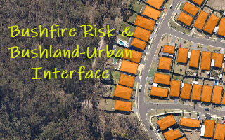
Monitoring Land Cover Changes at the Bushland-Urban Interface: An Image Analysis Approach

2020-12-11T12:13:19+11:00August 11th, 2020|AI, Australia, Bushfire, Climate Change, Cloud Computing, Earth Observation, Emergency, Exposure, Geocoding, Geospatial Big Data Analytics, Image Analysis, Land parcel, Location Intelligence, Property Information, Risk, Sentinel-2|

It has been well observed, modelled and reported that bushfire risk is on the rise under a rapidly warming climate. Earth observation, remote sensing and image analysis are among the most important technologies to manage bushfires nowadays - from disaster prevention to preparedness, from hotspots detection to movement monitoring, from response to recovery, [...]

5 12, 2016

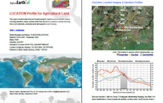
BigData Earth Develops New Location Profile Report for Worldwide Agricultural Land

2021-02-04T11:37:39+11:00December 5th, 2016|Agriculture, Asia, Asset Management, Australia, Climate Change, Cloud Computing, Earth Observation, Flood, Geospatial Big Data Analytics, Image Analysis, Location Intelligence, Property Information, USA|

Modern Earth observation technologies (spaceborne, airborne and terrestrial) are increasingly deployed to capture environmental attributes about agricultural land and assets. Geospatial big data collected by various sensors and the information extracted are critical for the growing AgTech and digital agriculture business. Many baseline terrain and environmental metrics for agricultural land should be systematically [...]

3 11, 2016

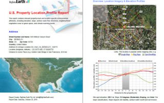
BigData Earth Develops New-generation Property Location Information for Addresses in the U.S. and Australia

2020-10-03T00:49:54+10:00November 3rd, 2016|Asset Management, Australia, Climate Change, Earth Observation, Elevation, Location Intelligence, Property Information, Real Estate, Risk, USA|

3 November 2016 For industries such as asset management, real estate and insurance underwriting, the location information of assets (e.g. buildings, infrastructure facilities, and agricultural land) is among the most important. Through deep research and development, BigData Earth creates new-generation property location metrics and insights by integrating various thematic layers (including terrain, land cover, climate change, natural [...]

3 11, 2016

Location Profile Reports on Climate Warming Trends

2020-10-03T00:49:55+10:00November 3rd, 2016|Australia, Climate Change, Property Information|

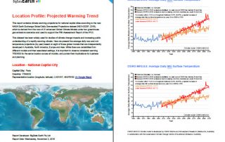
As part of new asset / property location information, we are making reports on location-specific climate warming trend. It is based on the analysis of the new NASA Earth Exchange Global Daily Downscaled Projections dataset (NEX-GDDP, 2015), which is derived from the runs of 21 advanced Global Climate Models under two greenhouse gas emissions scenarios [...]

8 03, 2016

Major Bushfires in Australia in 2015-2016 Summer: Before and After Satellite Imagery

2020-10-03T00:50:05+10:00March 8th, 2016|Australia, Bushfire, Climate Change, Earth Observation, Image Analysis, Landsat, Major Events, Wildfire|

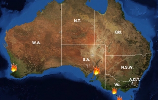
8 March 2016 (We thank the Australian Broadcasting Corporation - ABC - for promoting this for the general public. Twitter, ABC website) Extreme temperatures, frequent heatwaves and prolonged drought (link), enhanced by one of the most powerful El Niño events, have once again caused many bushfires in Australia in 2015-2016 summer season. Major damaging bushfires (grass fires and forest fires) [...]

5 03, 2016

The Warming Trend across Australia in 2100

2020-10-03T00:50:06+10:00March 5th, 2016|Australia, Climate Change|

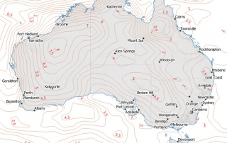
Statements on the warming climate are supported by two main research approaches: observation and modelling. Observation: It has long been diagnosed that the Earth has a fever, and some latest measurements and facts are alarming: 2015 was the hottest on record globally; January 2016 was the hottest month on record globally (link); February 2016 had record warmth in [...]

Go to Top