2 04, 2020

Unique Software Spectral Discovery to Easily and Rapidly Process Sentinel-2 Imagery

2021-01-13T18:26:09+11:00April 2nd, 2020|Agriculture, Asia, Australia, Bushfire, Earth Observation, Emergency, Image Analysis, Major Events, News Media, Risk, Sentinel-2, USA, Wildfire|

2 April 2020 Sentinel-2 (with twin satellites Sentinel-2A and Sentinel-2B) is one of the most successful Earth observation missions from the EU Copernicus Programme and ESA. Sentinel-2 satellite imagery features: wide swath (290km) multiple spectral bands (13 bands) high resolution (four visible and near-infrared bands at 10m, six red-edge/shortwave-infrared bands at 20m, and three [...]

5 12, 2016

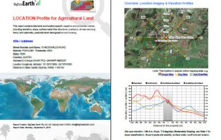
BigData Earth Develops New Location Profile Report for Worldwide Agricultural Land

2021-02-04T11:37:39+11:00December 5th, 2016|Agriculture, Asia, Asset Management, Australia, Climate Change, Cloud Computing, Earth Observation, Flood, Geospatial Big Data Analytics, Image Analysis, Location Intelligence, Property Information, USA|

Modern Earth observation technologies (spaceborne, airborne and terrestrial) are increasingly deployed to capture environmental attributes about agricultural land and assets. Geospatial big data collected by various sensors and the information extracted are critical for the growing AgTech and digital agriculture business. Many baseline terrain and environmental metrics for agricultural land should be systematically [...]

Go to Top