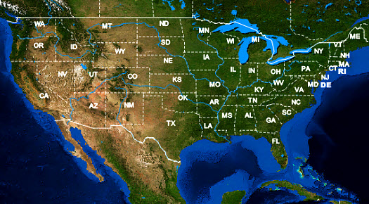
A number of key features of the NAIP aerial imagery are important for the classification of vegetation, including (1) consistent 1m high resolution; (2) new acquisitions in 2015, 2014, and 2013 growing seasons; (3) including R/G/B/NIR bands; and (4) virtually zero or minimized cloud covers. By comparison, it is hard to find high-resolution satellite imagery sources that can offer all of these advantages, especially for a very large territory.
Both pixel- and object-based image classification techniques, vegetation indices, and newly developed machine learning and classification methods have been actively explored for this feature extraction task. Also leveraging affordable data storage (more than a petabyte – 1,000 terabytes – in terms of the size of all temporary files during image processing) and high-performance computing, the BigData Earth team has achieved a very high accuracy of vegetation classification so that an objective, visual assessment becomes possible.
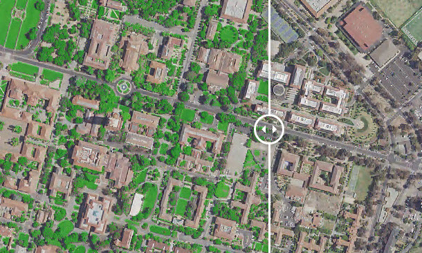
Unique data sets on the percentage (%, or the density) of vegetation across various geographical areas, such as 5-Digit ZIP Code, Census Block Group, and Census Track, are produced. In addition, 1m-resolution state-level imagery mosaics or basemaps (both natural-color and color infrared composites) are being offered. This project demonstrates excellent application opportunities using modern Earth Observation and geospatial big data analytics.