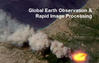
Monitoring Major Events with Global Earth Observation and Geospatial Big Data Analytics: 10+ New Examples
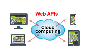
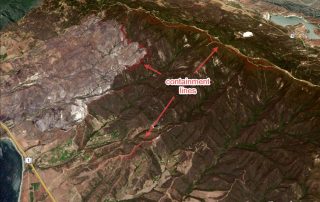
31 August 2018 This blog summarises some of our latest activities of monitoring, modelling and mapping major hazardous events with Earth observation and geospatial big data analytics, the two methods that are increasingly important and indispensable for a wide range of environmental studies. We routinely apply our own advanced image analysis software (Spectral Discovery) [...]