13 06, 2016

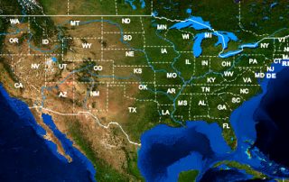
BigData Earth Completes Project on High-resolution (1 meter) Vegetation Mapping for 48 Contiguous U.S. States

2020-10-03T00:50:00+10:00June 13th, 2016|Image Analysis, Property Information, USA|

13 June 2016: Through wider collaborations in acquisition, storage and processing, BigData Earth Pty Ltd have access to the comprehensive, orthorectified digital aerial imagery from the USDA National Agriculture Imagery Program (NAIP) and performed advanced imagery feature extraction. The latest NAIP input imagery acquired in 2015, 2014 and 2013 growing seasons (at 1m-resolution and for  48 contiguous [...]

1 04, 2016

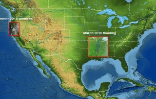
Innovative Earth Observation Image Analysis for Wildfires and Flooding: Two U.S. Examples

2020-10-03T00:50:04+10:00April 1st, 2016|Bushfire, Earth Observation, Flood, Image Analysis, Landsat, Major Events, USA, Wildfire|

Modern Earth Observation satellites are often equipped with special sensors that are capable of measuring the reflectance of ground features at short-wave infrared (SWIR) wavelengths. Most SWIR images currently in use are from the following four major satellites: Sentinel-2 (ESA, 20m resolution for SWIR bands) Landsat-8 and Landsat-7 (NASA & USGS, 30m resolution for SWIR bands) ASTER [...]

Go to Top