23 August 2016:
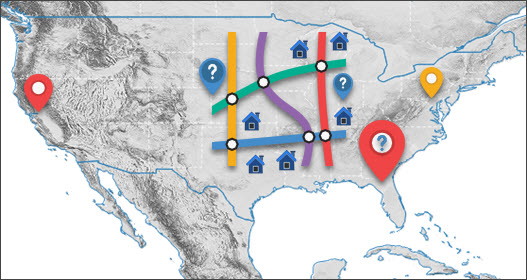
Geocoding location accuracy is fundamental to the exploration of location-centric business intelligence and important for applications such as asset management and risk analysis. Currently very few assessment tools on this exist. Without the confidence on the location accuracy, subsequent analytics and results would be seriously compromised.
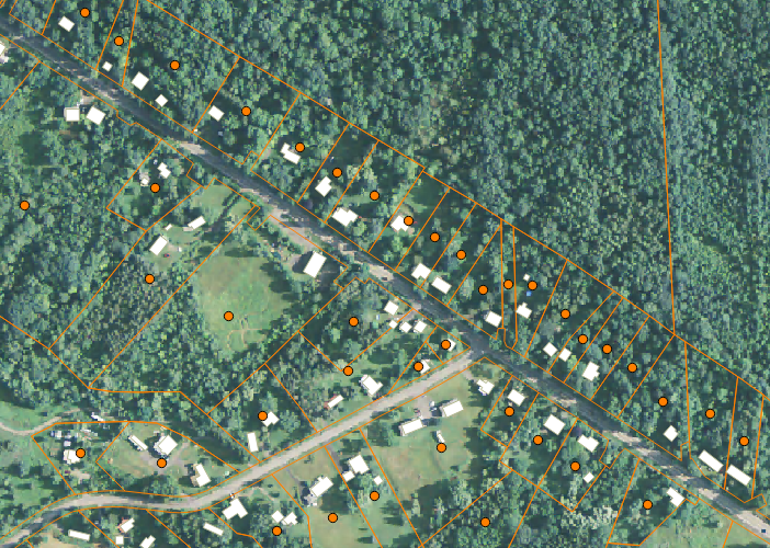
BigData Earth is pleased to release a new product called Geocoding DoubleCheck, a unique tool for assessing the location accuracy of the widely used parcel-level geocoding. The current coverage is for 48 contiguous U.S. States.


