3 11, 2016

BigData Earth Develops New-generation Property Location Information for Addresses in the U.S. and Australia

2020-10-03T00:49:54+10:00November 3rd, 2016|Asset Management, Australia, Climate Change, Earth Observation, Elevation, Location Intelligence, Property Information, Real Estate, Risk, USA|

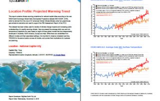
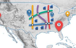
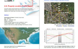
3 November 2016 For industries such as asset management, real estate and insurance underwriting, the location information of assets (e.g. buildings, infrastructure facilities, and agricultural land) is among the most important. Through deep research and development, BigData Earth creates new-generation property location metrics and insights by integrating various thematic layers (including terrain, land cover, climate change, natural [...]

3 11, 2016

Location Profile Reports on Climate Warming Trends

2020-10-03T00:49:55+10:00November 3rd, 2016|Australia, Climate Change, Property Information|

As part of new asset / property location information, we are making reports on location-specific climate warming trend. It is based on the analysis of the new NASA Earth Exchange Global Daily Downscaled Projections dataset (NEX-GDDP, 2015), which is derived from the runs of 21 advanced Global Climate Models under two greenhouse gas emissions scenarios [...]

23 08, 2016

BigData Earth Releases Geocoding DoubleCheck – A Unique Location Accuracy Assessment Tool for the U.S. Parcel-level Geocoding

2020-10-03T00:49:56+10:00August 23rd, 2016|Geocoding, Image Analysis, Land parcel, Property Information, USA|

23 August 2016: Geocoding location accuracy is fundamental to the exploration of location-centric business intelligence and important for applications such as asset management and risk analysis. Currently very few assessment tools on this exist. Without the confidence on the location accuracy, subsequent analytics and results would be seriously compromised. BigData Earth is pleased to release a new product called Geocoding [...]

Go to Top