3 11, 2016

BigData Earth Develops New-generation Property Location Information for Addresses in the U.S. and Australia

2020-10-03T00:49:54+10:00November 3rd, 2016|Asset Management, Australia, Climate Change, Earth Observation, Elevation, Location Intelligence, Property Information, Real Estate, Risk, USA|

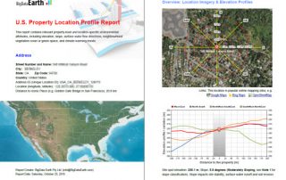
3 November 2016 For industries such as asset management, real estate and insurance underwriting, the location information of assets (e.g. buildings, infrastructure facilities, and agricultural land) is among the most important. Through deep research and development, BigData Earth creates new-generation property location metrics and insights by integrating various thematic layers (including terrain, land cover, climate change, natural [...]

3 03, 2016

Releasing 30m-resolution, Large-sized Global Elevation Mosaic and Shaded-relief Basemaps

2020-10-03T00:50:07+10:00March 3rd, 2016|Elevation|

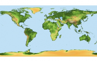
Terrain data are extremely useful and essential for a wide range of environmental studies. At the local level, high-density LiDAR point clouds and derived high-resolution (e.g. 1m) Digital Elevation Models (DEMs) are increasingly produced. At the global level, medium-resolution (30m) open elevation data (e.g. SRTM and ASTER GDEM) are popular in the scientific community. The quality [...]

Go to Top