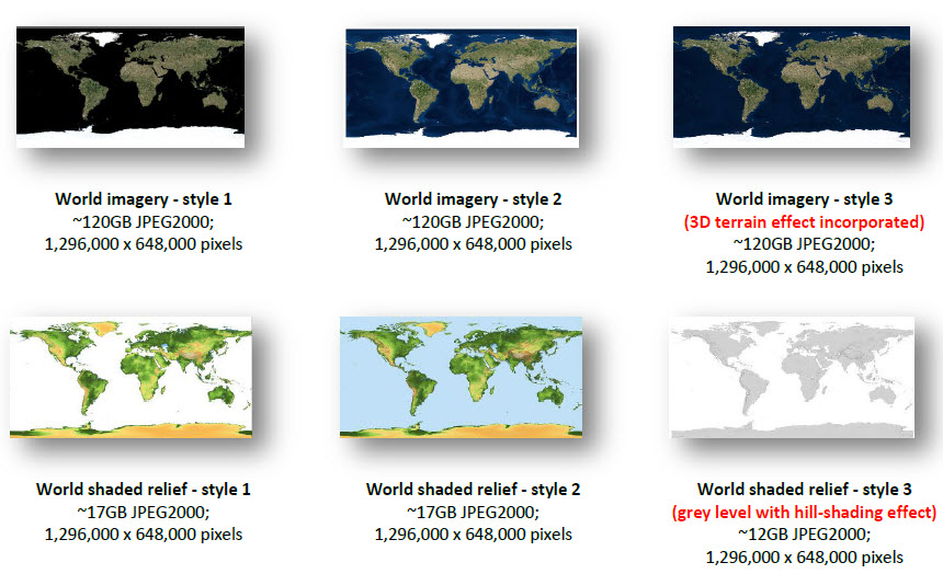
Satellite imagery and elevation shaded relief are arguably the most popular basemaps. Large-sized and easy-to-use mosaics are prepared using popular Landsat imagery and SRTM elevation. Each mosaic containing trillions of pixels provides new opportunities for fast mapping integration and visualisation.
The mosaic at 30m resolution is 1,000 more detailed than that at 1km resolution. One would be surprised to find out how easy, effective and productive it is to use the assiduously-prepared global / near-global mosaics (close to 1,000,000 X 1,000,000 pixels) in modern GIS operations. Expect the change and progress by orders of magnitude (in terms of computing time, quality improvement, data size, cost decrease and so on) and take the opportunity.

