Global Elevation Data Evaluation and Basemaps
In 1990s, low-resolution (e.g. 1km) global elevation data such as GTOPO30 were widely used by the scientific community.
Nowadays, medium-resolution (e.g. 90m and 30m) global elevation data such as SRTM, ASTER GDEM and AW3D are regularly explored and become indispensable to a wide range of environmental projects. While there are many free versions available in the public domain, their spatial accuracy varies significantly across regions. We help identify which elevation data source may meet your specific applications.
We compare and evaluate, both visually and statistically, multiple sources and present relevant evidence on data quality. To begin with, please read one of our blogs on this topic: A Survey and Clarification of DEM Vertical Accuracy
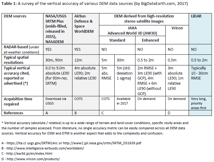
Meanwhile, we develop easy-to-use Web APIs facilitating the comparison of elevation from various data sources for any site worldwide.
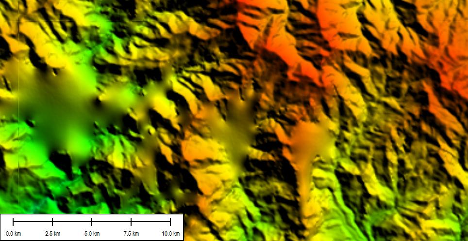
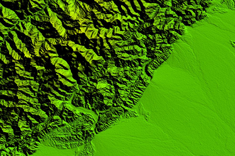
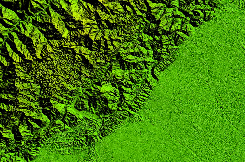
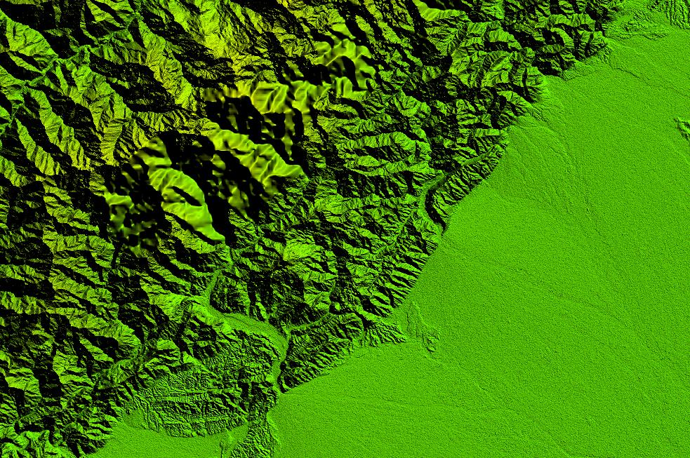
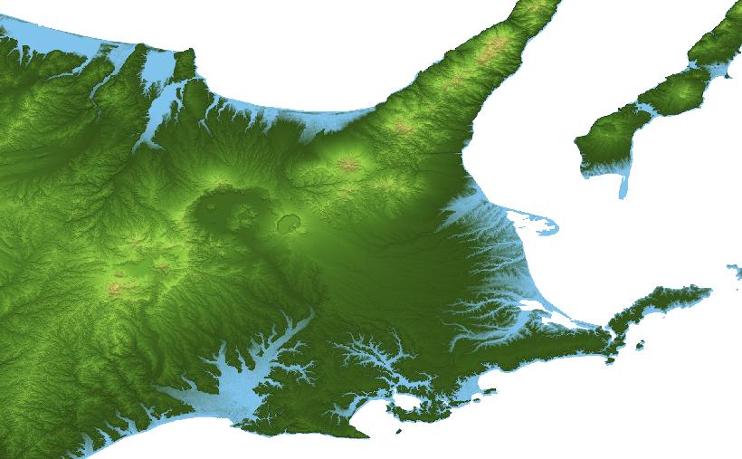
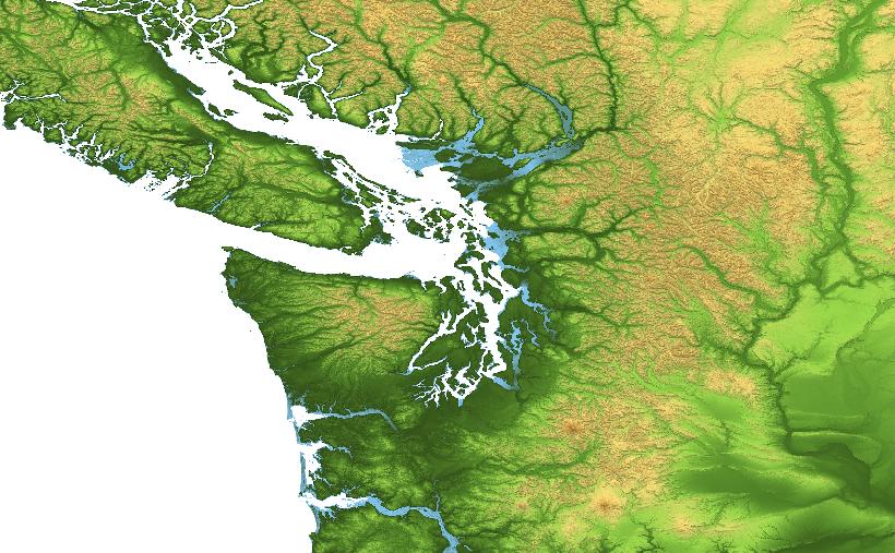
Left: 90m-resolution SRTM data with voids (gaps) filled from Source 1; Right: 30m-resolution SRTM data with voids (gaps) filled from Source 2.
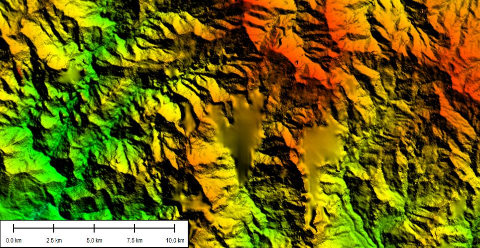
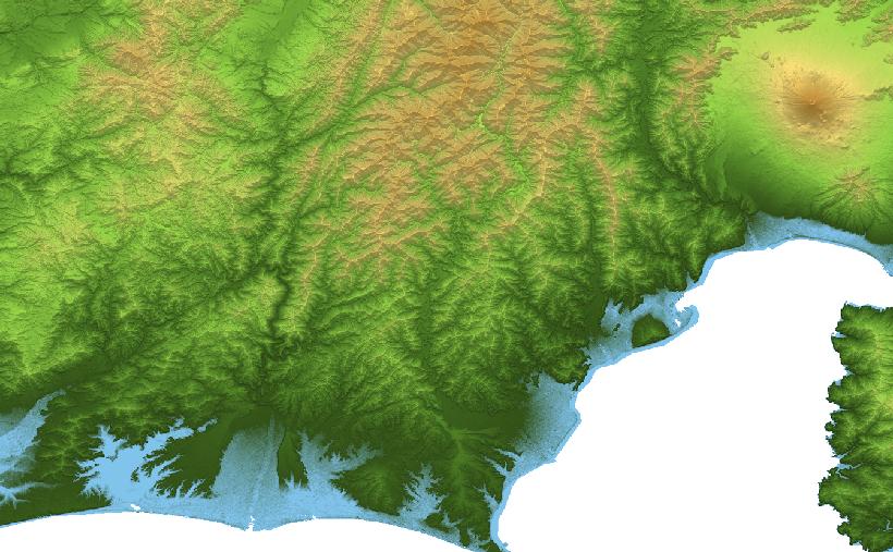
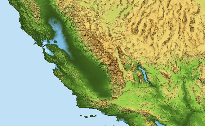
Left: 30m-resolution SRTM data with gaps filled from Source 2; Right: 30m-resolution SRTM data with gaps filled from Source 3.
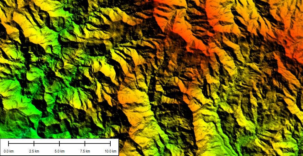
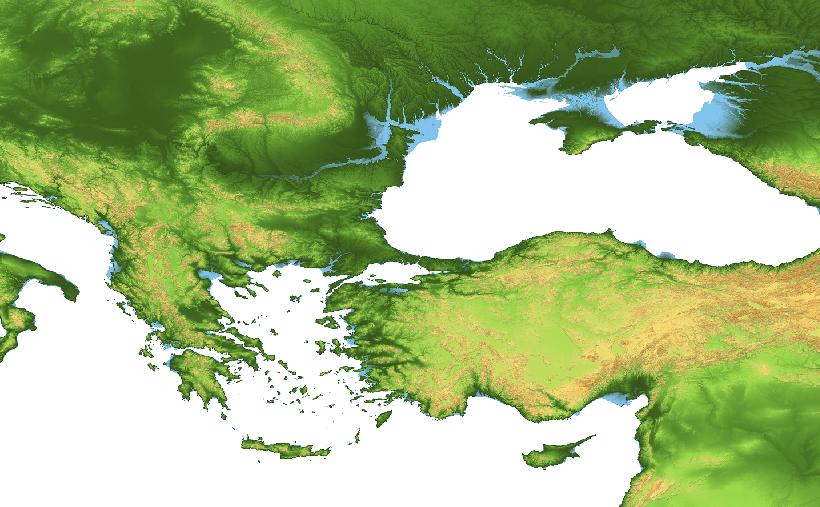
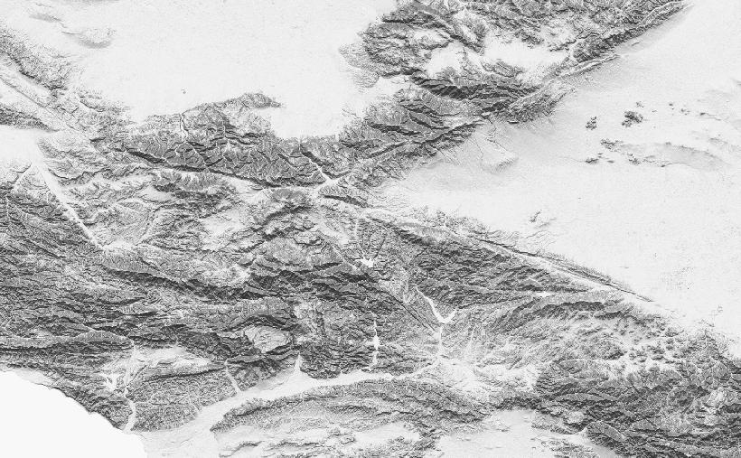
Left: 90m-resolution SRTM data with gaps filled from Source 7; Right: 90m-resolution SRTM data with gaps filled from Source 8.
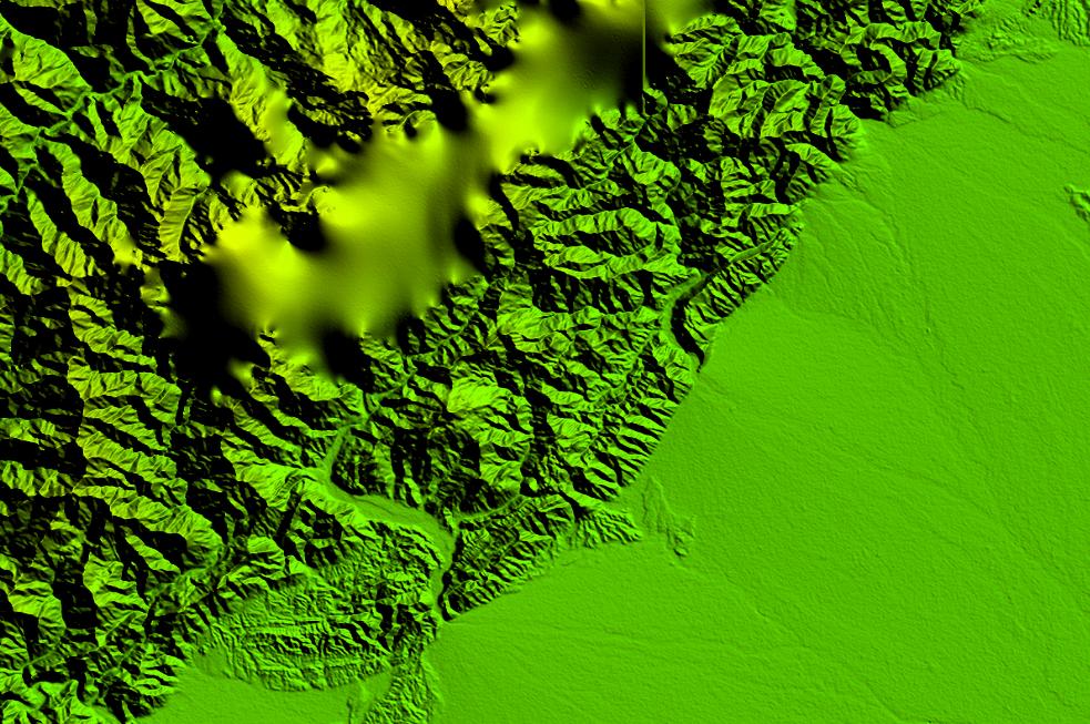
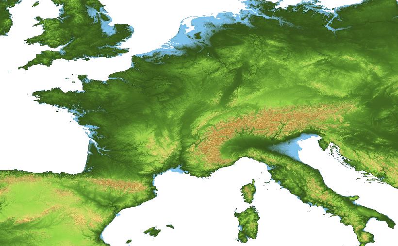
Left: 30m-resolution ASTER GDEM data with gaps filled from Source 5; Right: 30m-resolution SRTM data with gaps filled from Source 6.
New Elevation Data Sources
A number of commercial data vendors are now offering more detailed global elevation data, typically at spatial resolutions between 5m and 15m. They may be acquired for regional studies in a cost-effective manner.
We help process high-resolution and very high-resolution DEM, DTM and DSM, from LiDAR point clouds and satellite stereo pairs.
Global Elevation & Shaded Relief Basemaps
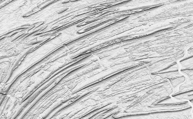
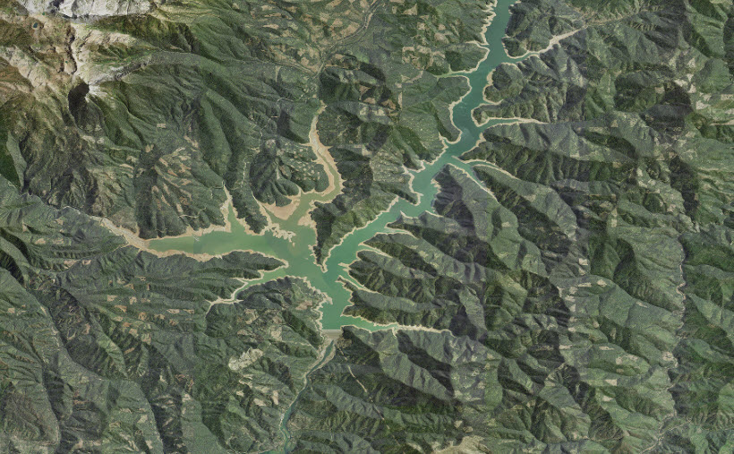
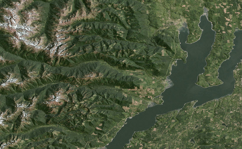
We also develop large-sized global and regional elevation mosaics (at 90m and 30m resolutions) and shaded relief basemaps (at 30m and 15m resolutions) with significant post-processing.

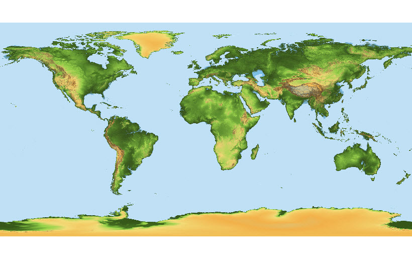
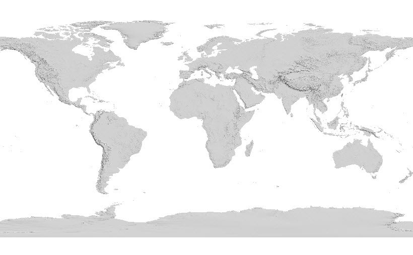
30m-resolution near-global SRTM mosaic with gaps filled (mosaic file size: ~1000GB).
It covers 80% of the Earth’s land surface and 99.5% world population.

